Pine to Palm 100 Mile Endurance Run Course Beta
(Miles 31 to 52)

After leaving Seattle Bar Aid Station (mile 31) runners are presented with the climb to Stein Butte.

After the 2.5 mile climb and once up on the ridge, things just keep getting better.

Tim Olson and Zoroaster cross the meadows below Stein Butte.

Applegate Lake as seen from Stein Butte.

Atop Stein Butte.

The start of the Elliott Ridge Trail (aka "The Roller-coaster"). Mile 36.

Photos do no justice. But this is looking down one of the descents on "The Roller-coaster".
Location of the Stein Butte Aid Station (Mile 37).

Descending the Summit Lake Trail (where you'll lose 2,000' in 2.5 miles) on the way down to Squaw Lake.

Summit Lake Trailhead.

Location of the Squaw Lake Aid Station (Mile 42).

Squaw Lake.

Kilgore Gulch Road. Mile 46.

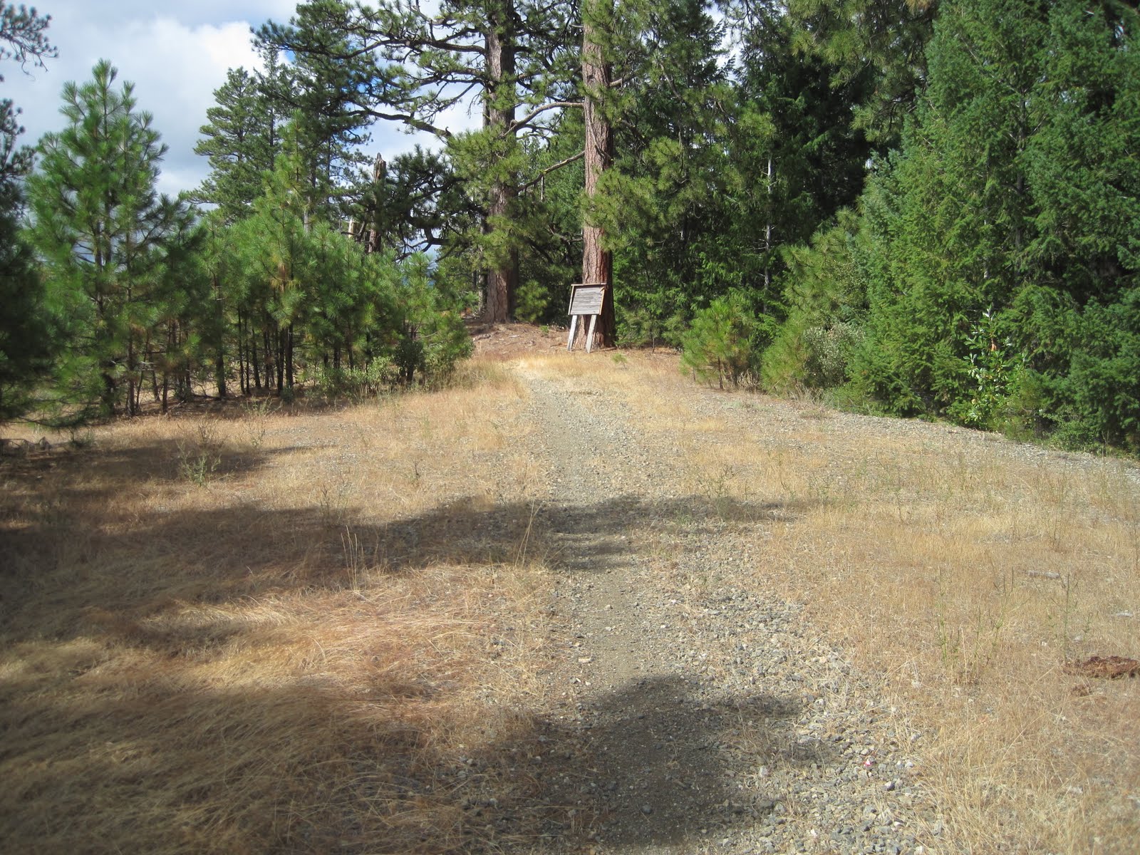
The location of French Gulch Divide Aid Station & Little Grayback Trailhead (mile 47).

Ascending Little Grayback Trail.

Views from Little Grayback.

Getting higher!

Mule Mountain. The course doesn't go over it, but when you see it you'll know you're a quarter mile from the Squaw Peak (Hanley Gap) Aid Station (mile 52).
Your Moment of Zen

Unfortunately, aid stations will not be stocked with Oregon's most medicinal plant.
7 comments:
Roller coaster is a great description of the Elliot Ridge Trail. Thanks for all the pics and write ups on the course.
Looks amazing man, can't wait.
Those "plants" might make that ridge trail seem easier... As always, great work. Now the P2P participants really know what they've gotten themselves into!
well, there could be beer.
Must be hops! Totally appropriate for runners.
olsen looks like a stout chode!
Post a Comment