Friday, August 13, 2010

Three Runs from Pollock Pines, California

I'm definitely spoiled when I go visit family.  Take for example the setting in which my sister, Jessica, and her family live.  Located halfway between Sacramento and Lake Tahoe on Route 50 you can find the small town of Pollock Pines, California.  It's a great location for trail runners, hikers, boaters, cyclists, fishermen and the like.  Diversity is the name of the game when I visit:  a loop around a lake, an out & back on a bike trail and a loop in the California high country.

Jenkinson Lake 

From my sister's front door you can find yourself quickly on a trail headed for a loop around this lake.  The lake is the setting for several ultras, like Run On The Sly and the Jenkinson Lake Trail Runs.


Typical shoreline for which the trail around the lake hugs.

The El Dorado Trail

Down the road from Pollock Pines one can find the historic town of Placerville, CA.  A runner looking for a less-challenging trail can head east on the smooth surfaced El Dorado Trail, a multi-use trail that is both paved and unpaved.


A typical dirt section of the El Dorado Trail.

Closer to Placerville one can find the harder surface and spot vineyards on the hillsides.

Into the High Country

Less than an hour's drive from my sister's place up what the locals call the MET (or Morman Emigrant Trail), its a paved 30-mile road, you can find yourself high above the trees and surrounded by granite rock mountains and alpine lakes.  I headed up with my brother-in-law, Duane, and the dogs (Bruce, Rose and Zoroaster).

Entering the Mokelumne Wilderness in the El Dorado National Forest.

Running up from Woods Lake to Round Top Lake.  Happily following my brother-in-law Duane Miller.

Round Top and its namesake lake.

Looking back at Caples Lake and Kirkwood (behind the mountains on the left).

Fourth of July Lake sits in a granite bowl between Round Top and Melissa Coray Peak

Typical high-country trail.  Emblazoned with many wildflowers.

Summit City Basin

My typical view of the day.  I wish I had three dogs pushing me up the hill.

Headed north on the Pacific Crest Trail at the Forestdale Divide.

Duane climbing out of the Summit City Drainage.

Crossing the Shoulder of Elephant's Back on the Pacific Crest Trail.

Winnemucca Lake.  The final stop on our loop run.

Your Moment of Zen
Coaching Tip:  When over-heated from a long, strenuous climb use what nature's made available.  Snow fields are excellent ways to cool your core temperature.

Wednesday, August 4, 2010

Three Days, Three Peaks

Three days of travel.  What better way to break up the drive than with a couple of summits on the way!

Setting out for Ashland, Oregon on a rainy, windy Flagstaff afternoon.  Co-pilot is ready!

In Kingman, Arizona, Zoroaster poses for the tourists who just off-loaded from their bus.

Heading into the bright lights of Las Vegas!

#1 Mount Charleston, Nevada (11,918')

Less than an hour from The Strip in Las Vegas sits Mt. Charleston, it's name-sake wilderness area and jaw-dropping views!

Shad Mickelberry joined me for the run.

Looking up the avalanche gully towards the long summit ridge.

Mummy Mountain, Charleston's twin, sits across the valley.

Old bristle cone pine skeletal remnants still stand.

The final approach to the summit cone.

Looking back from where we have come and must return.  Looking down at the small town of Mount Charleston and the trailhead location.

Looking west to Parhump, Nevada and Death Valley beyond from the summit.

The remains of a not-so-lucky helicopter trip.

Looking back along the ridge and the summit cone of Charleston.

Typical ridge line trail.

Zoroaster drinks from one of the few natural sources in the Spring Mountain Range.

#2 White Mountain, California (14,252')

White Mountain is the third highest peak in California.  It lays due east of Bishop, CA.  You can see the trail/jeep road winding its way up the summit cone and the research station on top.

The 30-mile drive to the trailhead was as much an adventure as the run itself!  Can you say lunar landscape?

On the drive in:  Overlooking the Patriarch Grove, an ancient bristlecone pine forest (more than 40 centuries old).

Trailhead at Barcroft Gate (11,685')

Frisbee at near 12,000'.

Barcroft Research Station (12,475').  Two miles into the run.

The long jeep road that leads to the summit.

Looking from the summit over to Boundary Peak (Nevada's highest point).

Green agricultural fields in the valley west of the peak.

#3 Black Butte, California (6,334')

Black Butte (an old volcanic cone) looks big, when not dwarfed by its neighbor Mt. Shasta.

The trail near the top gets a little rough.

Views from the circumnavigating trail.

Looking down on I-5 and Castle Crags on the horizon beyond.

Looking down into the caldera.

Looming Mt. Shasta (14,179') makes you feel small, even while sitting on a high mountain like Black Butte.

Moments of Zen...

Coaching Tip:  It is important to stay both fueled and...

...hydrated on your long runs!

Wednesday, July 21, 2010

The San Francisco Peaks

Its a Flagstaff classic.  One of my favorite running loops in Flagstaff takes you around, up, over and down the San Francisco Peaks.  You get a little bit of everything and see it all.  The loop is almost 19 miles long, reaches 12,000' above sea level and gains 4,000 feet in elevation.  Couple this with a bunch of friends and you have the ingredients for a great morning's jaunt!


The Peaks as seen from Baderville.

The Crew: (left to right)  Eric Bohn, Josh Brimhall, Shad Mickelberry, Trent Briney, Andrew Middleton and Zoroaster (down in front).

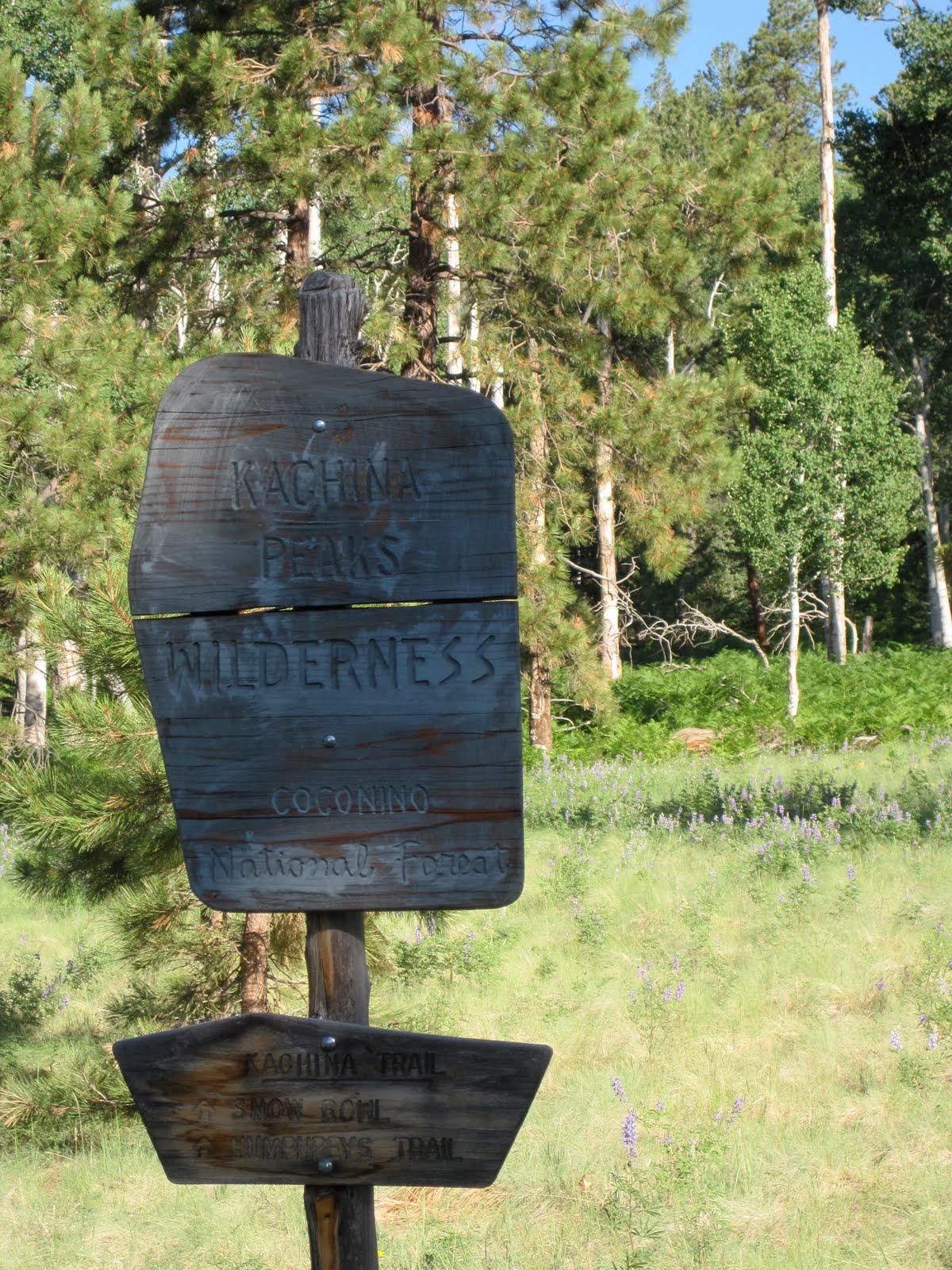
The Boundary to the Kachina Peaks Wilderness Area

Shad and Zoroaster make tracks on the Kachina Trail.

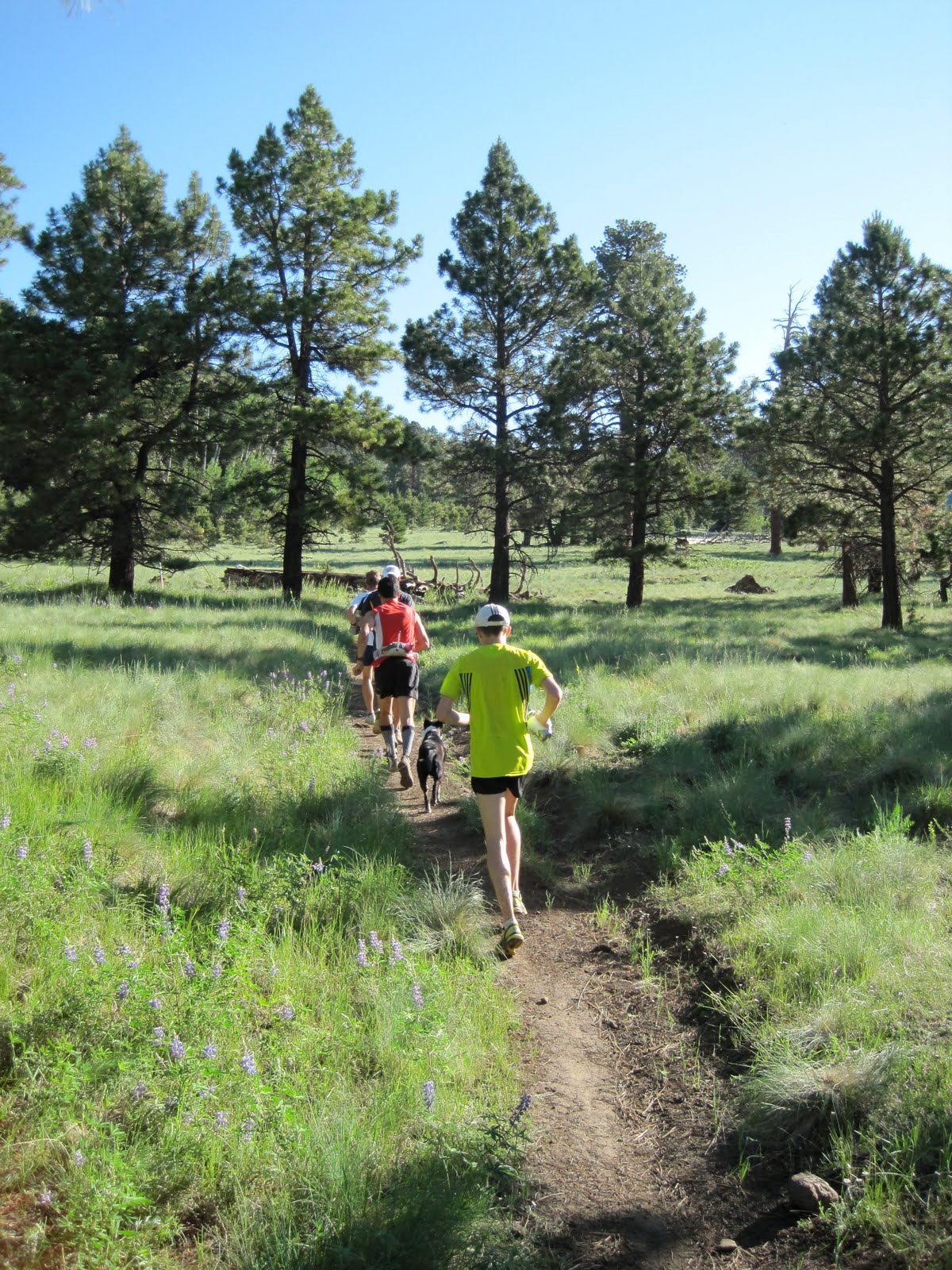
Middle (in yellow) and Briney run through one of many meadows on the Kachina Trail.

Early morning sun shines through the aspens.

Middle and Z part an aspen grove.

The Kachina Trail is known for its huge fern fields.  Here middle and Zoroaster blend in.

Leaving the Kachina Trail behind, we start up the Weatherford Trail.

The Weatherford Trail was built in the 1920's.  The now closed roadbed served as scenic access for many Model-T Fords.

Shad nears Fremont Saddle.

Briney, Middle and Bohn gather themselves at Fremont Saddle.  Our trail will lead us to the pass located just above Bohn's head.

The Weatherford Trail continues to traverse mountainous slopes.

Now at near 12,000' feet even the nearly level trail becomes difficult.

Looking back at Fremont Saddle (just left of center) with the Inner Basin between.

Briney and Middle start the five-mile descent as northern Arizona spreads out below.

Down into the saddle between Agassiz Peak and Humphrey's Peak.