Wednesday, November 3, 2010

Flagstaff Fall


 Fall in Flagstaff:  The first layer of snow.

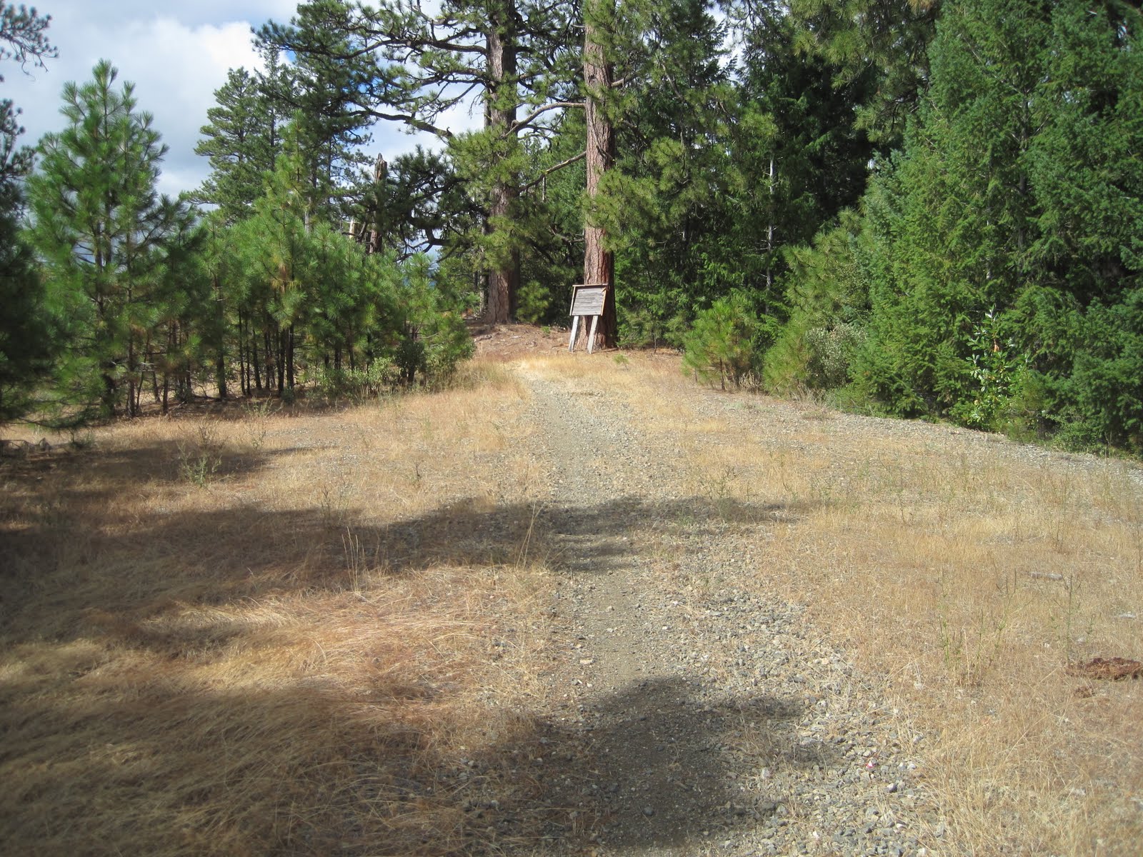
November 3rd :  I park in a small dirt lot along Route 180 at the turn off for Forest Service Road 151.  The locals better know the road as the Hart Prairie Road.  I ascend into the forest for four miles and as I near the top of the climb the trees give way to an impressive expanse of open country.  With the ponderosa pines now behind, the Peaks come into view.  Ribbons of white snow plunge from the mountains and are split with ribbons of golden aspens all while backlit by the deep blue Arizona sky.  Further on Fern Mountain casts a long shadow across a meadow of grasses and alders.  Its 70 degrees, my shirt’s off and the ever so slightest breeze quickly reminds me of what the high mountain nights are truly like this time of year once the sun falls below the horizon.  It is during the act doing something so simple, like running through the woods, that I often realize things.  I’m truly lucky to have these forests and network of seldom trodden roads to escape within.


 The Ladies of Team USA Arizona on Woody Mountain Road.

 The View from Behind on Woody Mountain Road.

I’m not alone, however.  There is a sizeable collection of runners in Flagstaff who take advantage of this area’s unique wealth of resources.  One such group is Team USA Arizona:  a group of eighteen dedicated elite athletes with talents that range from the mile to the marathon.


 A1 Mountain Road

 Fluids are ready!

Among other things, I’ve been assisting with Team USA Arizona’s long runs.  Their outings last somewhere between 90 minutes to 22 miles.  Routes with names like 222, A1, and Woody Mountain have all become synonymous with the Team’s Saturday long run.  Each route, like my Hart Prairie run, has it’s own particular set of climbs, descents, meadows and mountain views.  Zoroaster and I chase the team members along these often forgotten dirt roads with water, nutrition and encouragement.  The group usually splits due to different distances and speeds leaving me the challenging task of chasing them all down at the appropriate intervals.  I have found it an excellent way to spend Saturday mornings.  I ride along entertaining myself with my breakfast, camera and tunes.  Then it’s my turn.  When they’re done I’ll retrace the Team’s route, usually not as far and definitely not as quickly, but I’ll still chase their footsteps in the dirt until I’ve had enough.


 A1 Mountain Road

It is within these dimensions that things stay interesting and exciting.  Some folks like music, movies or a special quote to get them focused and psyched for a run.  I’ve got the real-life thing going on every Saturday morning.  It is truly impossible to not go for a run after you’ve trailed a group like this in a place like this.


 The Men of Team USA Arizona on FS Road 222.

Your Moment of Zen
A Room with a View.

Saturday, October 2, 2010

Number 50!!!

The Dream Sequence

I was running across a grassy field, warming-up at an unknown college cross-country meet.  The leaves of the trees lining the field were changing into autumn's golds and reds.  I wasn't really paying attention to much else.  Suddenly, my coach runs up to me, waving his arms and yells in a panicked tone that my race was about to begin.  I looked across the dew ladened field.  My team, as well as the rest of the conference's best, were strung across the matrix in a long thin line.  Exposed legs and arms, fingers on watches and squatting in the ever-ready "go" position.  An official stood before them and held a starter's gun high above his head.  I was screwed!  Not only did I have to run what seemed like a mile to get to my team's starting box.  I was still wearing my sweats and trainers.

I dropped to my butt as the pistol fired.  I threw off my shoes and my Allegheny College blue & gold sweat pants only to find another pair underneath.  The mass of runners began to pass.  I did the only thing I could do, I got up and started running sans shoes and still sweat pant clad.  I ran through the grass and mud in my socks.  I was last, or so I thought until a runner passed me pushing a baby stroller!  I felt as if I were running in reverse, the more I tried the further behind I fell.  

I think it was a multi-loop course, as the lead runners passed me as the path entered a gym.  Stands of spectators lined the walls; their eyes fixed upon me.  As I crossed the wooden floors I lost my traction and began to slide out of control in my wet, slippery socks.

It was then, at this very point of desperation, that my alarm went off in my ear.  Good thing because I had a real race to run today.  This was the perfect ominous prelude to today's Run on The Sly 50K.

History Repeats Itself

In September 1998, I traveled to Pollock Pines, CA, on a whim for the Run On the Sly 50K.  I won my 13th ultra there in 4:20:32.  I don't remember much about the race, only memories of running around Jenkinson Lake and running as hard as I could to separate myself from ultra-legend Luanne Park (who placed second overall).

Fast forward twelve years later, to this past September.  My sister (Jess), brother in law (Duane) and their kids (Rory and Grif) now live in Pollock Pines.  Because of this, Jenkinson Lake has become my peaking and recovery grounds for events like the Western States 100 Mile and Tahoe Rim Trail 100 Mile.  With a little inspiration from Duane I entered Run On the Sly (ROTS) this year.  This was to be Duane's first foray into the ultra world and I thought it'd be great to be there to witness that and to retrace a course I hadn't done in more than a decade.

Running around Jenkinson Lake at the 2010 Run on the Sly.

In this 2010 edition, things didn't play out much differently as they did in 1998.  The trail around the lake was as I remembered it and I ran as hard as I could to separate myself from the likes of fierce competitors like Cameron Park's Curt Casazza (2nd overall) and Pollock Pines' own Kate Evans (1st woman and new course record holder).  Though I believe the course was different than twelve years ago I still posted a ROTS PR in 4:09:13.  My 50th career ultra win.  Running with shoes and without sweats definitely helped my chances on this day.

Duane had a fantastic debut.  He crossed the line in ninth place with a time of 5:00:19.  Now he's murmuring something about entering a 50-mile or 100-kilometer race next year.  I'd say he's hooked!

Duane Miller on his way to his first ultra finish.

 Coach's Tip

Think outside the box.  If you are not prepared for the conditions; improvise.

Here Coach Torrence (with his clothing drop bag still ten miles distant) dons a stylish, black plastic bag as he ascends into the rain, clouds and wind at this year's inaugural Pine to Palm 100 Mile Endurance Run. (Photo by Chris Rennaker)

 And Now Your Moment of Zen

Birthday Cupcakes!  Provided by my sister, Rory and Grif.

Friday, September 24, 2010

Stuck in a Rut? Can't Get Out the Door?


Perhaps a little motivation will help.  Here's my newest installment over at Running Times Trails Online:  Maintaining Your Mind Motor.  Read a few tips on how to stay motivated when the going gets rough.

Thursday, September 16, 2010

The Pine to Palm 100 Mile Endurance Run Hits the Ground Running!


Check out all your race day information over here on the Rogue Valley Runners' blog.  It shares the live web-cast link, newspaper story links and weather info!  We're all excited for a great weekend!

Thursday, September 9, 2010

Pine to Palm 100 Mile Endurance Run - Course Beta Part 3

(Miles 31 to 52)

Garmin data for these miles, less the lap around Squaw Lake.

After leaving Seattle Bar Aid Station (mile 31) runners are presented with the climb to Stein Butte.

After the 2.5 mile climb and once up on the ridge, things just keep getting better.

Tim Olson and Zoroaster cross the meadows below Stein Butte.

Applegate Lake as seen from Stein Butte.

Atop Stein Butte.

The start of the Elliott Ridge Trail (aka "The Roller-coaster").  Mile 36.

Photos do no justice.  But this is looking down one of the descents on "The Roller-coaster".

Location of the Stein Butte Aid Station (Mile 37).

Descending the Summit Lake Trail (where you'll lose 2,000' in 2.5 miles) on the way down to Squaw Lake.

Summit Lake Trailhead.

Location of the Squaw Lake Aid Station (Mile 42).

Squaw Lake.

Kilgore Gulch Road.  Mile 46.

The location of French Gulch Divide Aid Station & Little Grayback Trailhead (mile 47).

Ascending Little Grayback Trail.

Views from Little Grayback.

Getting higher!

Mule Mountain.  The course doesn't go over it, but when you see it you'll know you're a quarter mile from the Squaw Peak (Hanley Gap) Aid Station (mile 52).

Your Moment of Zen

Unfortunately, aid stations will not be stocked with Oregon's most medicinal plant.

Wednesday, September 8, 2010

Pine to Palm 100 Mile Endurance Run - Course Beta Part 2

The next installment of P2P100 Course beta--

Pine to Palm 100 Mile Endurance Run (miles 52 to 83)
Course maps can be found on the race website here.

Location of the Squaw Peak (Hanley Gap) Aid Station (miles 52 & 53.5).  Runners will pass through twice, summiting Squaw Peak in between.

Looking down on Squaw Lake from the slopes of Squaw Peak.

Looking across the course:  Squaw Peak (4,963', with summit building) sits on the right.  Runners will summit the peak.  Little Grayback Mountain sits to the left.  Runners will follow a trail along it's slopes from Frenchman Gulch Aid Station (mile 47).  Squaw Peak (Hanley Gap) Aid Station sits in the saddle between the two.

FS Road 2010 cuts across the slopes:  The six-mile link between Squaw Peak Aid and Squaw Creek Gap Aid.

Location of Squaw Creek Gap Aid Station (mile 60).  Intersection of FS Road 2015 and FS Road 20.

This is true, but its really not that bad.

Dutchman Peak ridge-line.  Dutchman's summit (7,415') is the peak on the far left.  This is the course's highest point.  The aid station will be located in the low saddle on the far right.

Location of the Dutchman Peak Aid Station (miles 65 & 67).  Pacers will pick up their runners here.

Jackson Gap:  Looking back to the Red Buttes Wilderness Area.

Pilot Rock:  As Seen from Jackson Gap (mile 68).

The 20 Road:  Looking back towards Jackson Gap.

The Scenic Siskiyou Crest.

Views of Mt. Shasta from the 20 Road (mile 69.5).

Wrangle Gap Shelter (mile 70)

Looking down the Glade Creek drainage from near Wrangle Shelter.

The descent from Wrangle Gap.  Here you're about three miles from Glade Creek Aid Station.

Glade Creek Aid Station (mile 78) location.  Junction of FS Rd 2250 & 2030.

Typical road surface as the runners ascend toward Wagner Gap Aid Station (mile 83).

Mile 80:  Brickpile Road (FS Rd 2250) crosses the Little Applegate River.

The last installment, miles 32 to 51, will be posted this weekend.

Your Moment of Zen...

Hopefully Mother Nature will cooperate come race day.  Hopefully this little bugger is hanging course flagging and not eating it!